
How to Travel With a Paper Map (and Why We Still Carry One)
February 5, 2025 · by John Whitfield
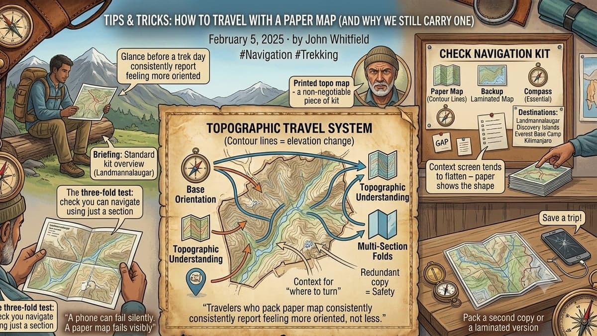
GPS is reliable until it isn't — cold drains batteries fast at altitude, signal drops in deep valleys, and screens crack. It's why every guide on our Everest Base Camp and Kilimanjaro trips still carries a printed topographic map as a non-negotiable piece of kit, regardless of how many satellites are overhead.
A map teaches you the shape of a place
There's a real difference between following a blue dot and reading contour lines. A paper map forces you to understand a valley's shape, where the climbs are, where water sources sit — context a phone screen tends to flatten into "turn left in 200m." Travelers who glance at a paper map before a trekking day consistently report feeling more oriented on the trail, not less.
The three-fold test
Before any multi-day trip, fold your route map into quarters and check you can navigate using just the section showing. If a torn or lost page would strand you, that's worth solving before departure, not during it — pack a second copy or a laminated version for anything genuinely remote.
A phone can fail silently. A paper map fails visibly — and that difference matters more than people expect until the moment it doesn't.
Where we still hand out paper maps
On the Landmannalaugar trek and the Discovery Islands kayaking route especially, both remote enough that a dead battery is a real inconvenience rather than an abstraction, every traveler gets a printed route overview at the trip briefing. Consider it standard kit, not a novelty.